Civil engineers are involved in the precise measurement of the earth’s surface to obtain reliable information for locating and designing engineering projects. Current practice makes use of satellites, aerial and terrestrial photogrammetry, and computer-processing of photographic imagery. Radio and TV signals from satellites scan by laser and sonic beams are converted to maps that give highly accurate measurements for boring tunnels, building highways and dams, plotting flood control and irrigation projects, and for virtually all the other areas of civil engineering. This technical specialty has indeed embraced modern technology.
Surveying is the means of determining the relative position of points and the relative distances. It is an integral part of Civil Engineering education and training. Surveying of an area is essential for the design of all civil engineering projects such as highways, bridges, railways, water supply, sewage disposal, reservoirs and dams, building constructions, transmission tower, irrigation canal etc. The objectives of surveying may vary depending on the type of projects and requirements. The economic feasibility of the engineering projects cannot be properly ascertained without undertaking a survey work.
Surveying is the art of determining the relative positions of different objects on the surface of the earth by measuring the horizontal distances between them and vertical angle either in elevation or depression. From the observations obtained is corrected and plotted on paper to prepare the map in the suitable scale. Thus, in discipline, the measurements are taken in the horizontal plane as well as vertical plane.
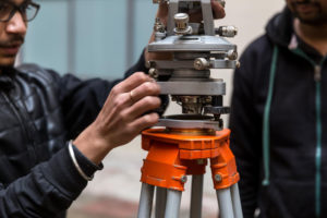
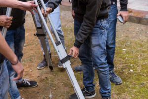
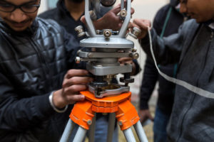
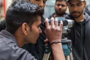
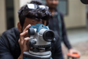
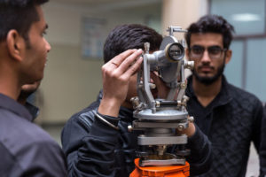
The objective of surveying laboratory is to make student familiar and competent enough to draw map in suitable scale by using different surveying instruments like total station, theodolite, auto level, global positioning system (GPS), geographical information system (GIS), electromagnetic distance measurement (EDM), plane table, compass, etc. Students learn to survey from conventional as well as contemporary methods and technology. Our Surveying labs provide students with hands-on experience using common surveying equipment.
Course Objectives
- To determine the relative position of any objects or points of the earth.
- To determine the distance and angle between different objects.
- To prepare a map or plan to represent an area on a horizontal plan.
- To develop methods through the knowledge of modern science and the technology and use them in the field.
- To solve measurement problems in an optimal way.
Course Outcomes
Students who successfully complete this course will be able:
- To prepare a topographical map which shows the hills, valleys, rivers, villages, towns, forests, etc. of a country.
- To prepare a cadastral map showing the boundaries of fields, houses and other properties.
- To prepare an engineering map which shows the details of engineering works such as roads, railways, reservoirs, irrigation canals, etc.
- To prepare a military map showing the road and railway communications with different parts of a country. Such a map also shows the different strategic points important for the defense of a country.
- To prepare a contour map to determine the capacity of a reservoir and to find the best possible route for roads, railways, etc.
- To prepare a geological map showing areas including underground resources.
- To prepare an archaeological map including places where ancient relics exist.
- To measure of land and the fixation of its boundaries

